god bless the rains down in kentucky
Tuesday, October 15, 2013
under clouds of gray & a steady drizzle, it was with heavy hearts that we set out from Cave-in-Rock. today was our last
day riding with Mathias (on this trip), and the gloomy weather seemed apropos for our parting. nevertheless, we did our best to make light of it,
enjoying a long breakfast at Rosa Lee's before taking the ferry over the river and into Kentucky.
Mathias, we could not have asked for a better companion to join us. thanks for sticking with us and bringing an unparalleled energy & passion to
our trip. I will never forget the great conversations on the road and at camp, and am looking forward to catching up at the end of the year when
we all get off our bikes for a bit.
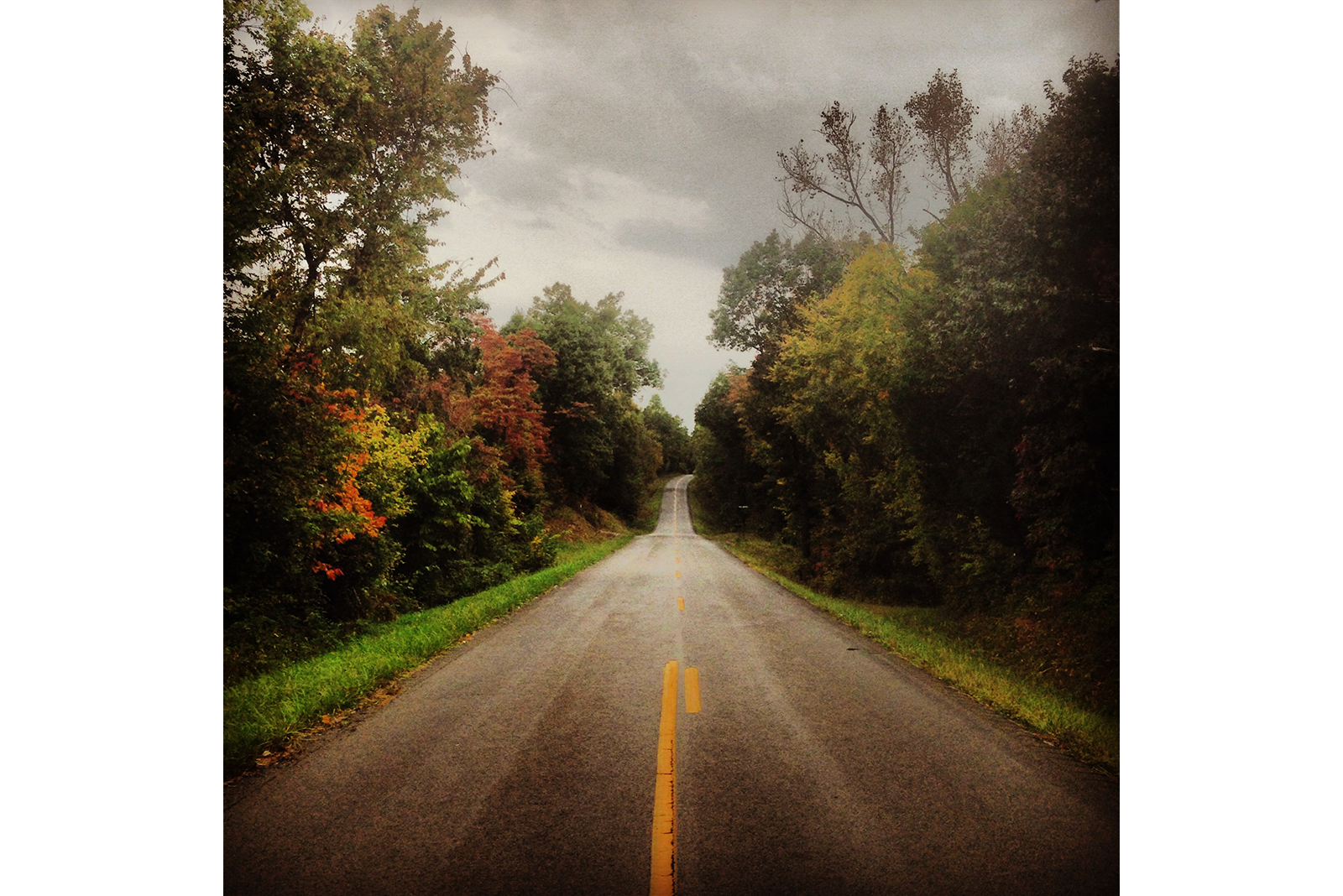
made an easy 55 miles in the rain through eastern Kentucky's rolling farmlands and forests.
blessed by the First Baptist Church in Sebree, we were treated to a warm place to stay, showers, LAUNDRY! and everything else a cyclist could possibly need.
got to mark our hometown in their bike shop room as well.
will take it easy the next few days through the bluegrass state, soaking in "life on the road" and looking forward to a myriad of fall colors along
the way.
until next time, may the sun shine warm upon your face
touring 101: "mapping" (part 1: factors)
Wednesday, October 16, 2013

every cross-continental tourist knows the importance of a well-thought out route.
whether it's simply the plan for that morning or an entire trip start to finish, there are a few things the smart cyclist will always consider when "mapping" their journey.
I'll break this into a two-part series - factors and process - the former covering all that influences mapping, the latter providing you with a
step-by-step example of how we "map" any given day of riding. and so, without further ado
part 1: factors
1. attractions - should be obvious, but what can you see along the route? national parks, monuments, scenic routes, viewpoints, lakes, rivers,
canyons, etc. hopefully you're a cross-continental tourer because you want to experience the sights, sounds and smells you'll find all along
the "open road."
2. mileage - how many do you want to put in each day? this is often what cyclists look at first and foremost, though all the following factors
will at some point push that number up or down whether they like it or not. best advice here is to be flexible; shoot for a daily average that
works with the length of your trek rather than trying to cover the exact same number of miles each day.
3. road conditions - big well-paved shoulders on lightly traveled roads are ideal, and bonus if you can find routes without rumble strips (as
an aside: DOTs out west are far more biker-savvy than anything we've seen in the midwest or out east. from the pacific coast to the rockies, a
majority of the rumble strips are non-continuous; that is, there are 8ft breaks in between 16ft sections of rumbles. this allows a cyclist to
easily move from the road to the shoulder whenever cars pass by without rumbling all of their panniers right off their racks. listen up, road
commissions! this is a money-saving method of creating rumble strips that is beneficial to both the automobile and the bicycle).
do NOT rely solely upon google biking routes - best to stick to the solid black & single red lines you'll find on any AAA map (read the legend,
it's actually quite helpful). freeways/expressways are to be avoided whenever possible (the wide shoulders may look tempting, but you're far more
likely to run into car tire wires and other hard-to-see debris that can wreak havoc on your tires/tubes).
whenever you can, ask at gas stations / restaurants / etc. about the road(s) ahead, but take any information you garner with a grain of salt. no
offense car drivers, but "smooth" roads for auto tires does not always translate to smooth roads for bike tires.
4. weather - cool, dry & overcast conditions keep water consumption low and biker tan lines to a minimum, but that's not to say you won't enjoy
your ride if you run into rain or it's a little hot & sunny that day. all depends on your own cycling preferences. check the forecast each morning,
and in the afternoon if you can swing it - rain/snow/wind systems can change in strength & direction several times a day. sometimes it might be
worth it to wait a few hours to let a storm roll through, or call it quits early in order to get a tent up before it gets wet.
5. elevation - large climbs? easy coasting? depending on where you're at in the world, you'll want to to take terrain into account when determining
how many miles you want to cover that day. 80 miles of riding in kansas does not equal 80 miles of riding in missouri.
6. civilization - as fun as stealthing may be, staying nearby a place where there's showers, shelter, food and/or people always makes the end of
the day more enjoyable. look at where the cities and towns are on your route and again, be flexible.
7. amenities - in conjunction with being near civilization, often what that "civilization" has will determine whether or not you want to try make
it there that day (or if it's too short a ride, keep going). call ahead to see if a city/campground has a park/campsite you can stay in and what's
available as to the comforts of modern life.
furthermore, know that you have a host of options for where to lay your head for the night. outside of state parks, campgrounds and (in a pinch)
hotels/motels, you have city parks, churches, fire halls, couchsurfing.com (not that responsive/reputable), warmshowers.com (very responsive &
highly recommended) and even bike shops, more and more of which have some sort of overnight housing for tourers in addition to being an ideal stop
for any repairs or tune-ups. be bold and ask! call ahead and try out various accommodations during the length of your trip. not only will you keep
from "overdoing" any one form of shelter, but you'll meet folks from all sorts of backgrounds along the way.
look for "part 2: the process" coming soon!
until next time, may the rains fall softly on your fields
touring 101: "mapping" (part 2: process)
Thursday, October 17, 2013
"mapping" is (and forever will be) a non-linear process, chronologically speaking. the seasoned cyclist never sets in
stone a mapping factor (such as distance or departure time) before taking all others into account. thus the following explanation, while structured
as a step-by-step example, should be taken as just that: an example. depending on where you're riding, each day may well push a different factor
to prominence.

part 2: process
first, we're almost always looking at destination, i.e. what's available 70-100 miles down the road (or whatever your daily mileage goal may be).
points of interest, national parks, scenic routes, monuments - essentially anything we would not see anywhere else - usually takes preference at
this point.
second, we figure out accommodations for the night, often based on how badly we need a shower, laundry, a simultaneous heating & drying of shoes
(as seen above) or a hot meal in our tummies. mapping is very much an exercise that takes the last several days into account. let's say we've stayed
in a city park the last three nights, none of which had showers. getting to a facility that had such a luxury will often take priority over all other
factors (total mileage that day, elevation climb, etc.) and determine our direction and destination for the day. we're almost always making calls in
the morning or at lunch to see what's available.
and speaking of, when's lunch? the third step to mapping (once we're fairly confident on where we want to finish) is to check out places along
the way to for our midday feeding. while it's nice to have a gas station (ice, water, restrooms, picnic table) or similar venue, it's not a
make-or-break aspect of mapping, since we're almost always eating food we've bought beforehand, and could enjoy just as easily along the side
of the road or at a particularly stunning vista.
fourth step: determining departure & arrival times. it goes without saying that how many miles we'll cover that day (and when we'll finish)
depends a lot on when we get rolling in the morning. the number of miles to our lunch stop usually dictates our departure time; sunset, our
desired arrival. weather or poor sleep the night before can easily alter both, however, so we often pick two or three potential lunch spots
and, if there are a number of unknowns (elevation, weather, etc.), two destinations - typically a short & long ride.
care packages! step five plays a major role (salute) in our long-term (3-4 day) mapping as we work around post office hours and locations.
we LOVE care packages, and whenever we know we're getting one, will look far enough down to road to make sure we arrive on time to receive them.
step six: the next grocery stop. more of a long-term aspect to mapping as well, and FAR more important when mapping out west (california
through kansas). at times we rode as many as 300+ miles without passing a walmart or general store. as a result, what roads we took and where we
stayed at night largely had to do with where we could stock up on water, peanut butter, etc.
last (but not least), the seventh step to our mapping process is looking at where we'll next want a cyclist shop. believe it or not, things
break on your bike along the way, and we're always keeping an eye open for where there might be a spot to pick up some extra tubes or get a
quick tune-up.
that's all there is to it! not so hard, really, and if you can find the right balance between planning ahead and being flexible when those
plans change, you're in for an incredible ride.
until next time, may God hold you in the hollow of His hand
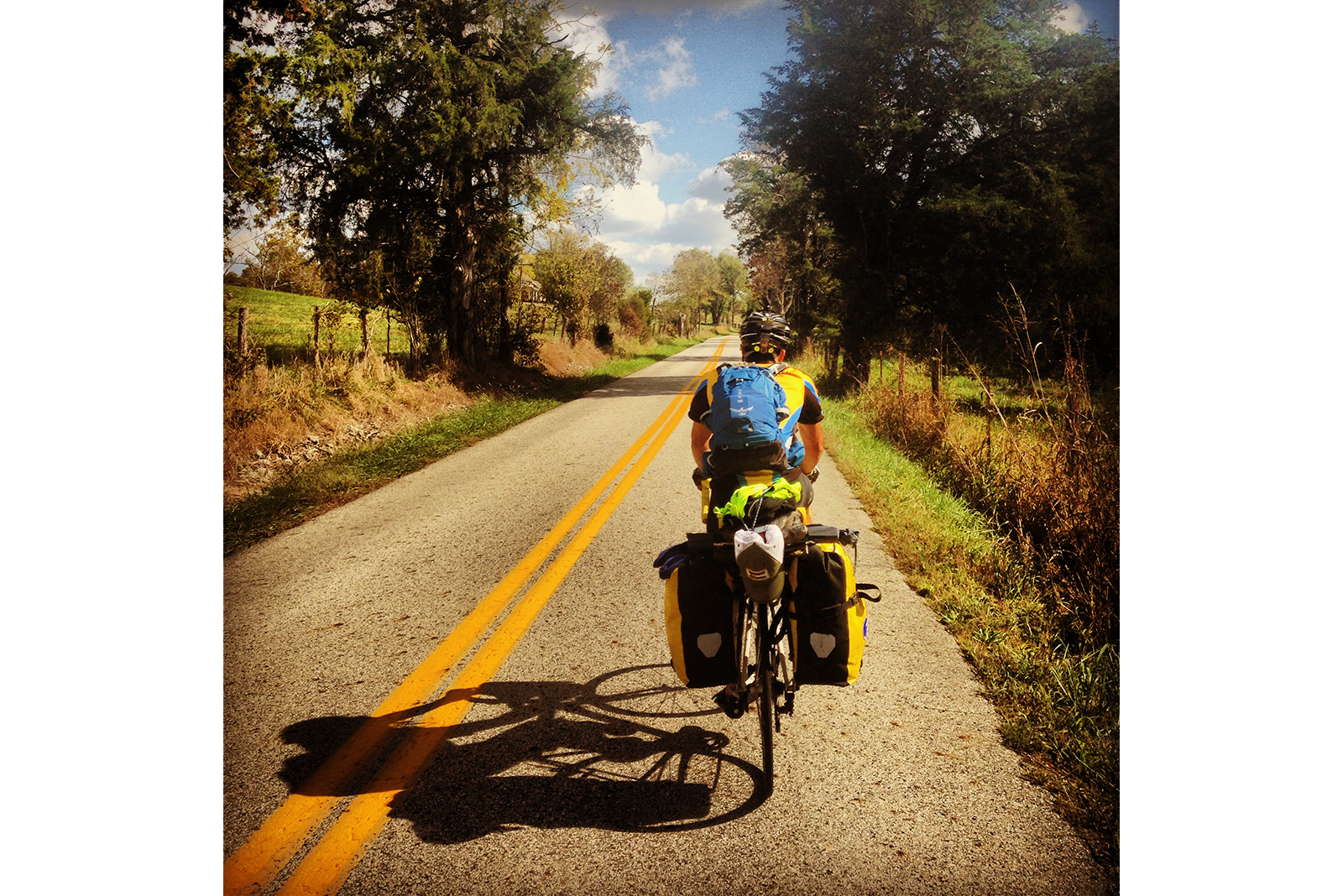
easy kentucky rolling
Friday, October 18, 2013
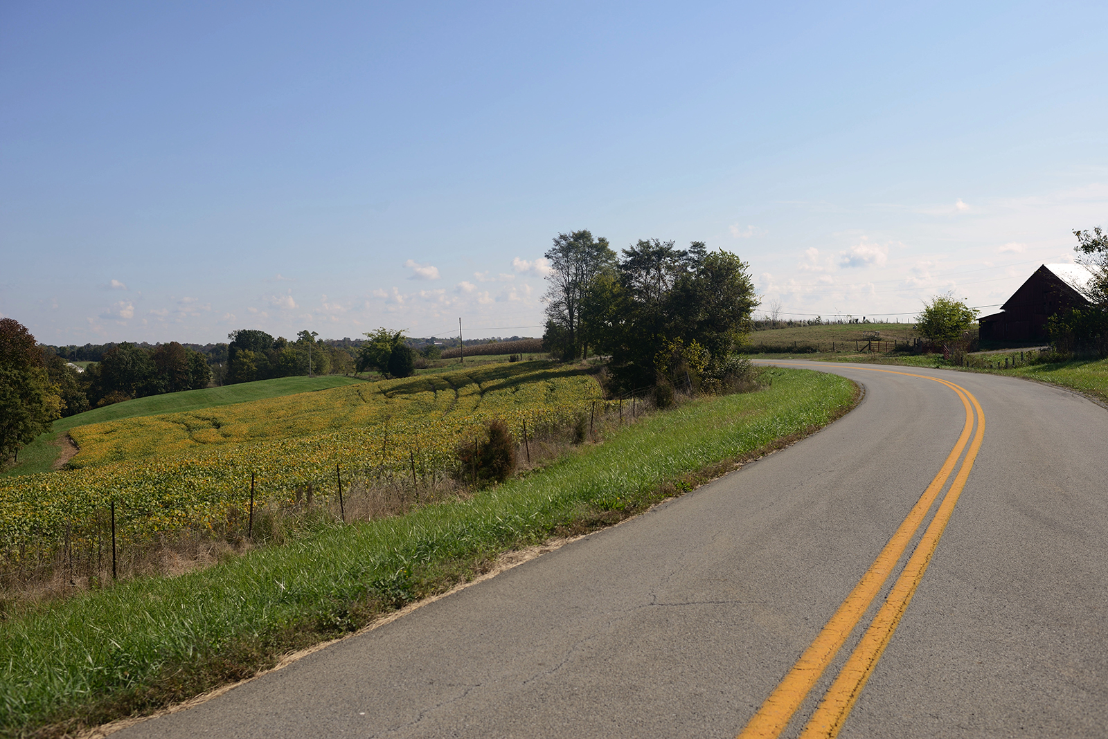
the past week has been unlike any other leg on our trip. never before has the landscape felt so much like "home"
(i.e. northern michigan) and never before has the riding been so easy. not only are the roads well-maintained, with VERY gradual grade changes,
but when you're riding through a town every 10 miles or so, it's rare to feel as though you're ever in one place for too long - there's always
a new farm or field or homestead just over the next hill to discover.

and the air! crisp and cool each morning til the sun peeks out from between the clouds: warm on the skin but never
so strong as to make you sweat while riding.
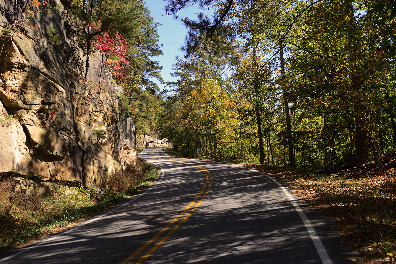
the road gives way to the natural rises and dips in the landscape; large oaks, maples, pines & firs throw shadows across the pavement as you
ride through the dappled light, falling leaves blown about the road as you ride.
nature creeps right up to the side of the road's shoulder, kept at bay by old wooden fence lines. one never feels as though they're cutting
through the land, but simply taking the easiest and most beautiful way through the country.
until next time, may the road rise up to meet you
Berea
Saturday, October 19, 2013
a few things worth noting about what we've seen in KY so far:
BOONS. both the blessings and the legend.
CHURCHES. everywhere. no matter how large or small the city, there's going to be a steeple (or several steeples) and usually at a
prominent/central location. Baptist, Methodist, Christian, Catholic (though not many), Lutheran, Presbyterian - every and any flavor
you could ask for.
COUNTIES. whenever we ask about the road ahead, the response is almost always "well, that's headin' into _______ county" .... there's more of
an association with what area of Kentucky you're from (or are going into) than the actual roads & towns. dunno if this is due to the nearly
uncountable number of either one, or their limited use (roads) or size (towns).
DOGS. started to hit a few neighborhoods in Missouri and Southern Illinois where we were chased by anything from little yippers to great big
woofers, but Kentucky has had the highest number of dogs per capita by a long shot so far. a fair amount are leashed/chained, but every now
and then one goes for the feet or (less successfully) an ortlieb. those things are every bit as bite-proof as they are rainproof.
LICKS. this one I've no idea as to the origin or reason for it, but there are more towns with the word "lick" in Kentucky than I ever thought
imaginable. so far we've passed Paint Lick, Elk Lick, Sand Lick and Spring Lick. curiosity got the better of me, and for a change, I actually
had phone service at our place for the night, so I did what anyone else would do - google. check it out:
http://sammonsays.com/general-humor/lick-towns/
MILE MARKERS / ROADS. at almost every intersection (and sometimes, they don't even wait for one) you're likely to change road names (even if
you're continuing on straight) and with each new road there's a reset in the green mileage signs on the side. whether it's to confuse tourists
like us, a pride in the number of different roads you can take anywhere, or simply a lack of coordination between county road commissions, it
sure makes the riding go quicker when you're never on the same road for more than 10 miles at a time.
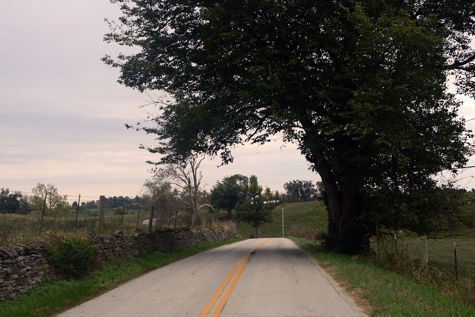
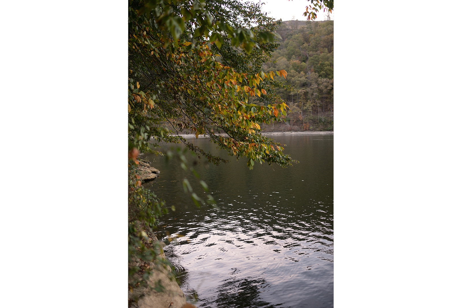
TREES. from eastern kansas til now, the ratio of fields to forests has gradually reversed; we're well into all sorts of evergreens, maples and
oaks with only a small cornfield or hayfield every few miles. trees are everywhere, and the numerous species scattered on the hills are in just
the right amount of color variation. as I may have mentioned, Kentucky looks, smells and feels a lot like northern michigan, which is why the
last few posts have had fewer photos and more letters; would you take pictures of your backyard every day for two weeks? and to those readers
not from northern michigan, my sincerest apologies. I will try and find a few good shots that really capture the fall colors so that you're not
left in the dark as to the beauty of autumn in the Midwest.
until next time, may the wind be always at your back
Booneville
Sunday, October 20, 2013
it is good to be in the presence of God and His people. we had the privilege of attending berea baptist church this
morning, and lucky for us, it just happened to be a Sunday led by the youth. without a doubt, there's some amazingly talented musicians,
singers & speakers in the berea area.
enjoyed fellowship with the Allen family afterwards, and were treated to some delicious pizza and conversation with Dave, Kathy and their
youngest, Robby. I know full well I sound like a broken record, but we have been so blessed by the Lord and the body of Christ. some may say
"ah, it's just a free meal" or "that's generous of them, but how much does that really help you in the larger scope of things?" folks, a lunch
like today means the world to us. not only are we seeing firsthand God's grace and His power at work in moving the Allens to provide us with
food, but we are spiritually built up by their shared love for Christ. both aspects are crucial to our journey. so thank you for your prayers;
He hears and He provides.
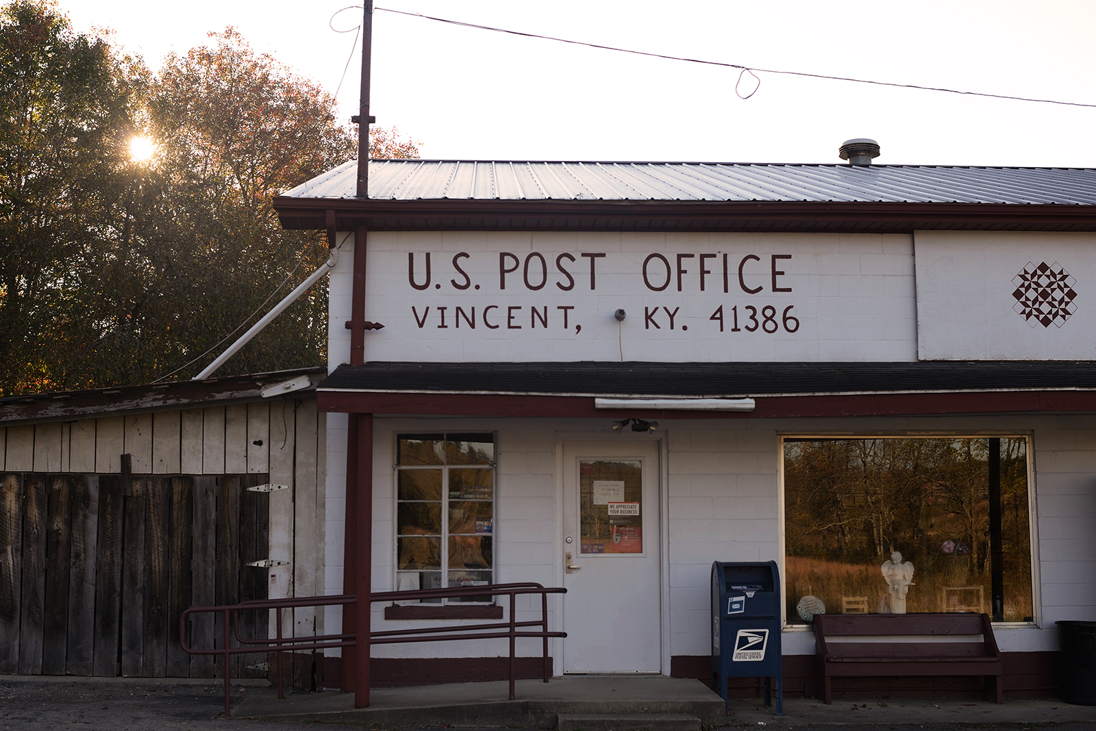
made our way 50 miles further east this afternoon and stopped in Booneville, at the Presbyterian Church. may not sound like much to the average
reader, but when we saw the pavilion behind the church (with power outlets!), shower, bathroom and a sign out front that read "welcome cyclists",
it sure felt as though eastern kentucky was rolling out the red carpet for a couple of michigan yahoos, no less, just passing through on their
way to the atlantic coast.
until next time, may the sun shine warm upon your face
touring 101: rain
Monday, October 21, 2013
my fellow cyclists,
a little bit 'o water should never get in the way of a veteran tourer. with the right equipment and environmental awareness, there's no reason a
day in the rain shouldn't be anything less than what gene kelly says it should be. for taking on the elements, here are a few of my favorite
things ....
1. ortliebs - ortliebs, ortliebs, ORTLIEBS! if there's one area of cross-continental touring you don't want to skimp on, it's what you'll be
storing all your gear in. rain or shine, your panniers will be exposed to it all for as many as 8-10 hours each day. I'll say it again in case
you missed it - ortliebs :)
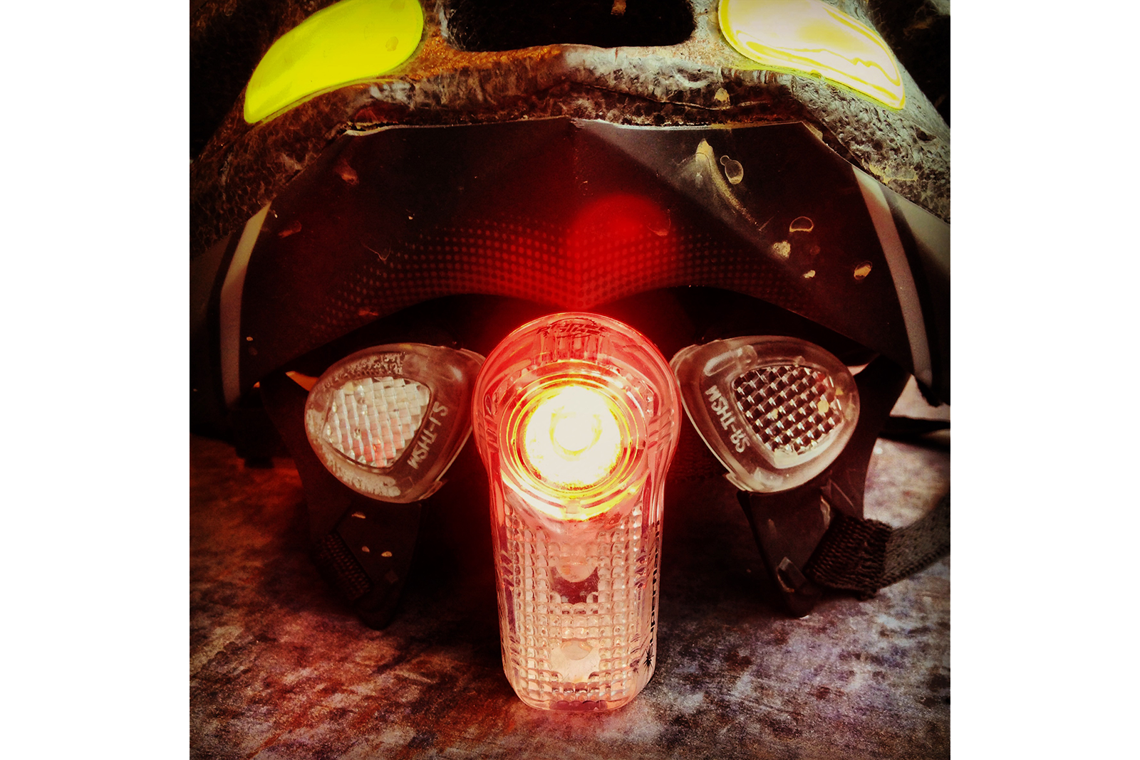
2. lights - might be daytime, but most rainy days I've rode in are always a bit dark & gloomy. best to be safe and keep those lights blinking bright.
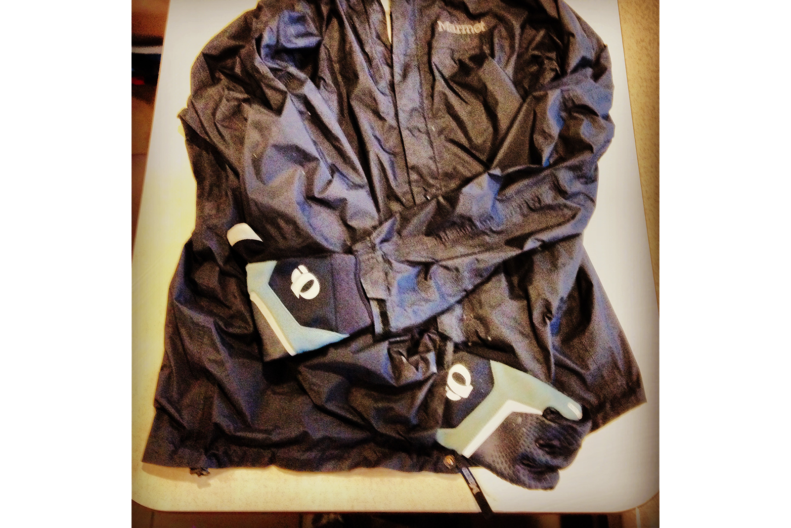
3. gear - booties, coat & gloves, in that order. no one likes walking around in wet socks/shoes, and it stands to reason that not many like biking
in the same conditions. warm, dry feet will be happy peddlers, I assure you. for your coat, ventilation is a feature that might not come to mind
to the novice cycler. aside from keeping water out, a good jacket will let air in (or keep it out, based on your preference. I recommend a coat
with pit zips) and keeps those climbs from getting too sweaty. lastly, gloves are excellent for those cold november rains. you can spend a fortune
on a super warm/waterproof pair, but I don't think it's necessary; I'd look for warmth over waterproofedness.
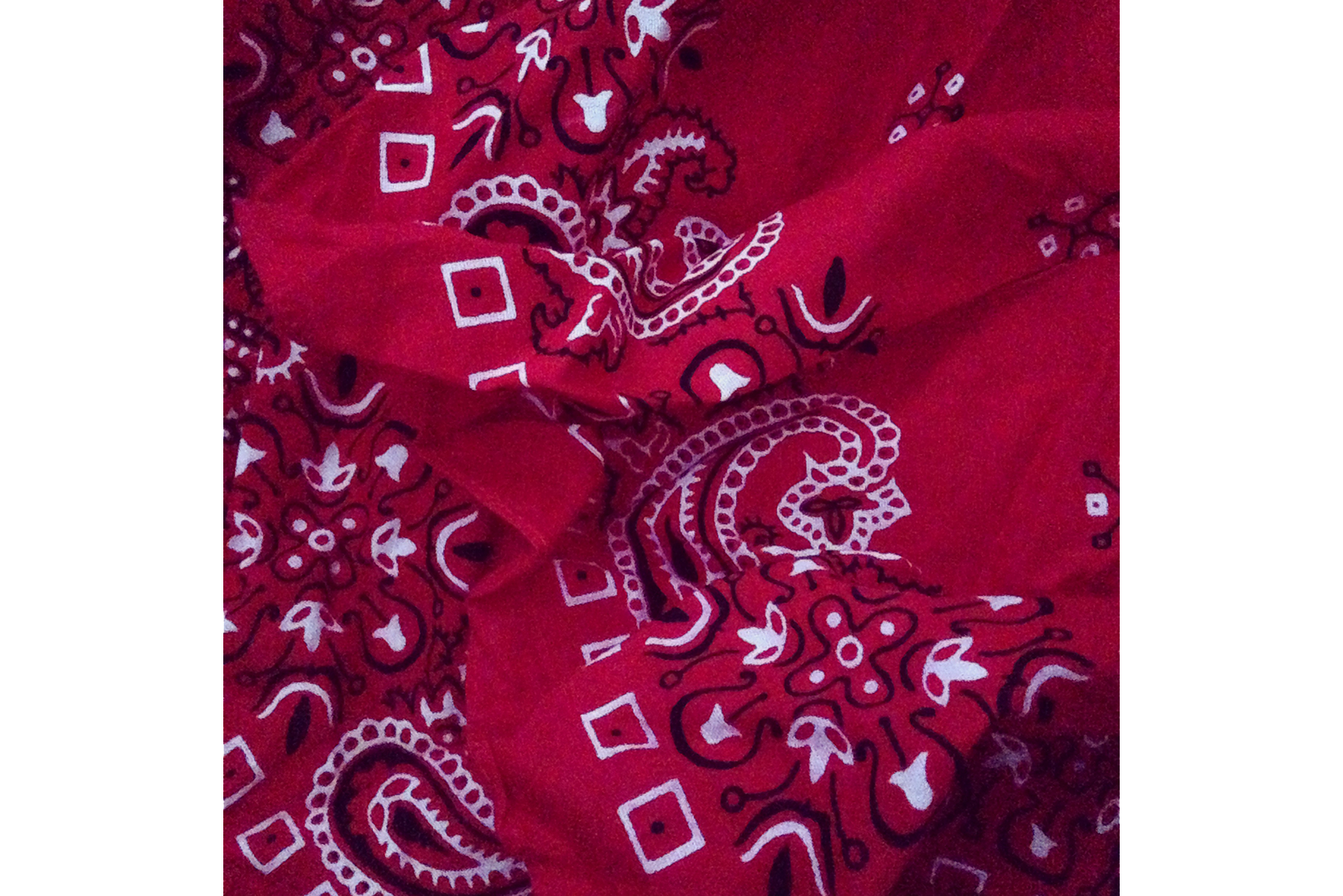
4. bandana - listed separately from the rest of your rain gear due to its importance. unless you have some space-age style helmet, your head gear has
holes in it. doesn't take a genius to realize that, if it's raining, water is going to get through. a bandana works wonders in keeping the rain off
your face and out of your eyes (and just for free, you can use that same bandana during the high heats to wick away sweat in the same manner).
5. um .... not fenders - unless you're touring Ireland, my opinion on fenders is that they're just extra pounds that you'll regret having on all
those sunny days. if you're touring with a rear rack and any sort of trunk bag, that will act as a natural rear rain guard anyway.
6. bathrooms - no sense in stealthing after a day of cold rains, find some civilization! state parks, churches and other people's houses typically
have excellent washroom facilities. look for hot air dryers (for shoes, socks and anything else that needs drying), fans (same reason), stalls
(to hang up wet clothes, tents & gear) and of course, a hot shower to wash away the filth of the day and to warm up the extremities.
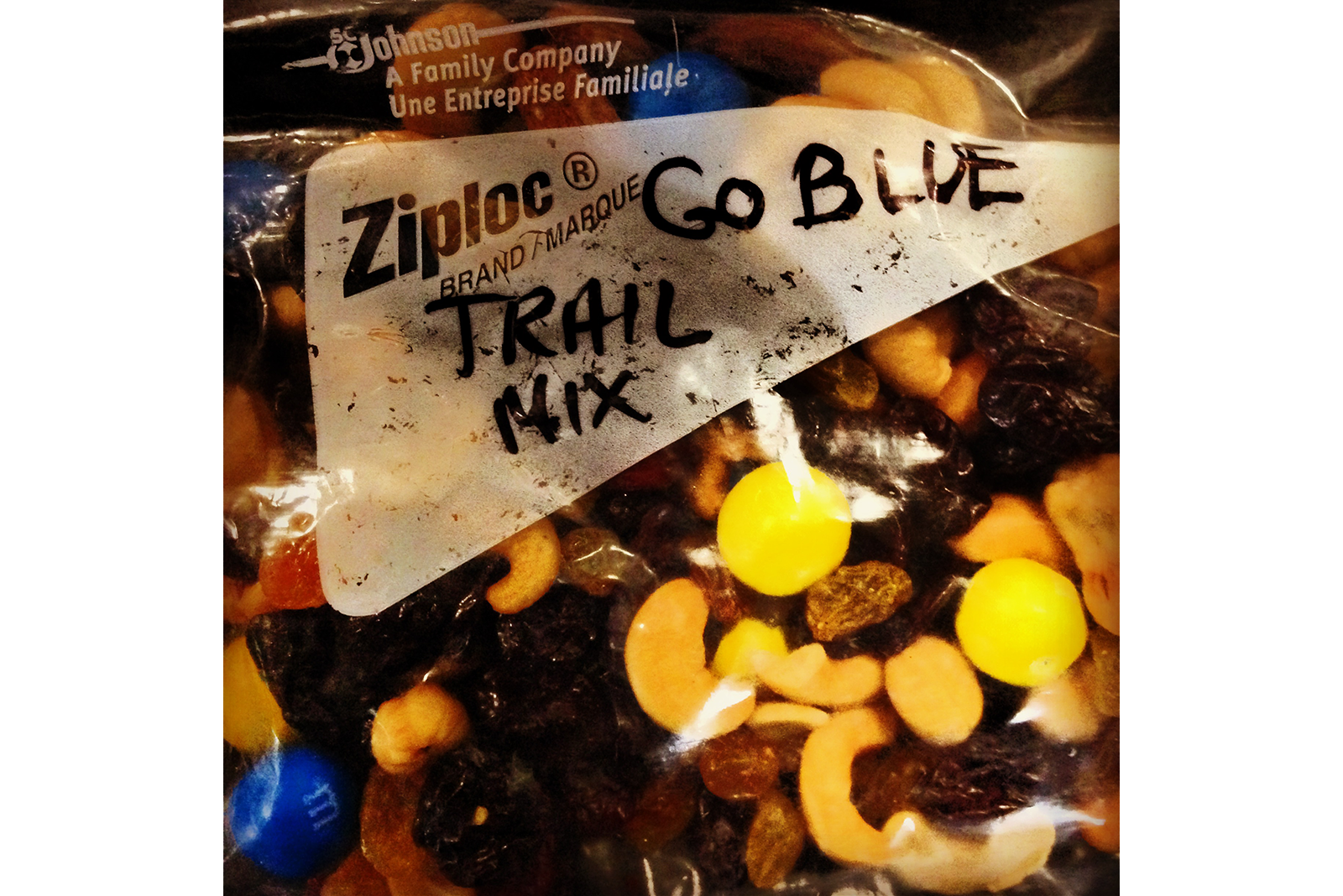
7. sweets! hopefully you'll have a great momma like mine, and consequently great snacks and treats to look forward to at the end of the day.
whenever you're in inclement weather for any amount of time, don't discount the power of sugars and chocolates and candies - just a little bit can
go a long way in cheering your body back up from the chill of rainy riding.
until next time, may the rains fall soft upon your fields